Akhtala Monastery


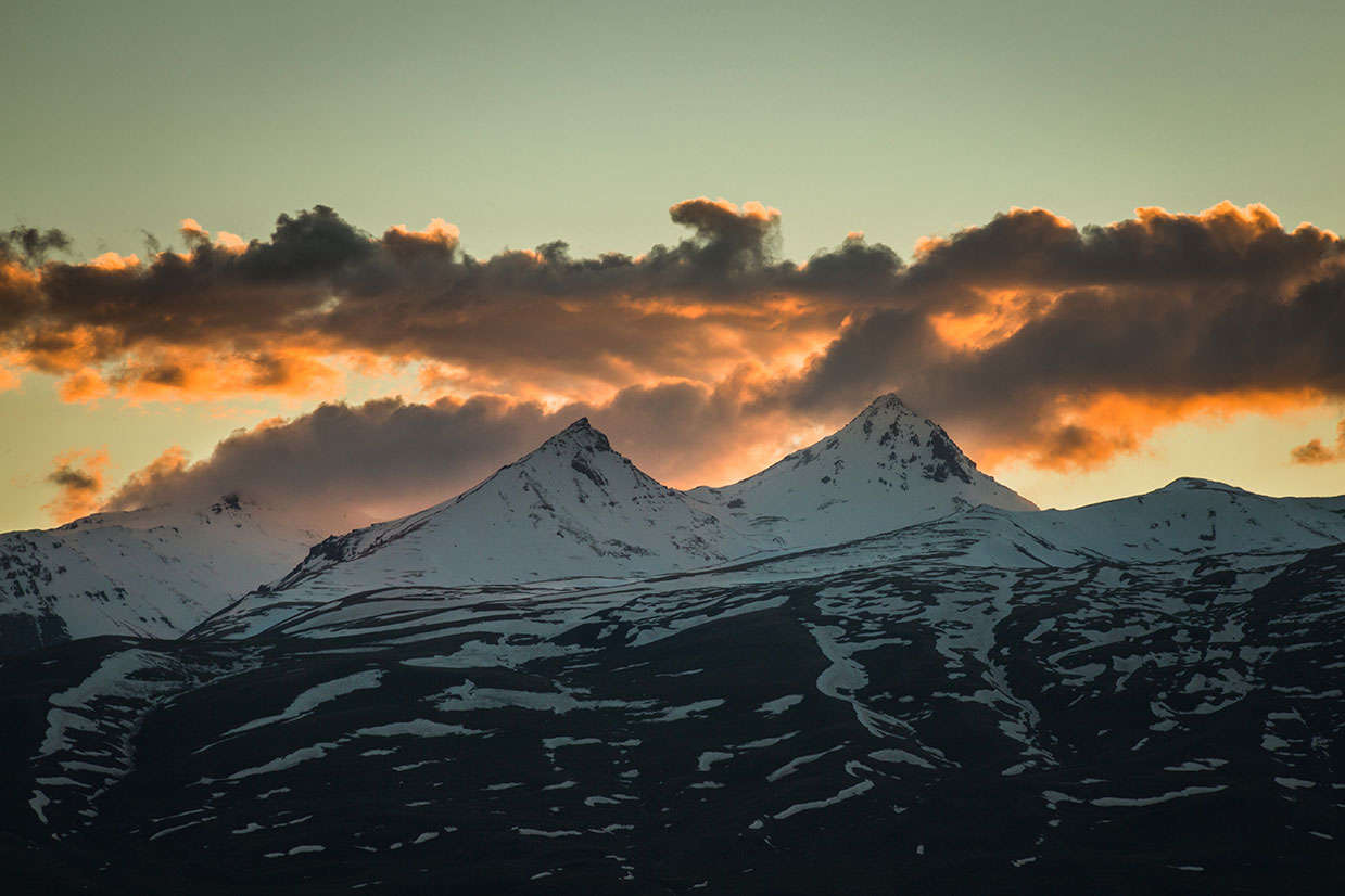
Akhtala, is a town and municipal community in the province of Lori, at the bank of Shamlugh River, on the slopes of the mountain Lalvar, at a distance of 186 km north of the capital Yerevan and 62 km north of the provincial center of Vanadzor. First time, the current name Akhtala was recorded in a royal decree of 1438. The original Armenian name of the settlement in which the monastery was built is Pghindzahank, literally copper mine. Archaeological excavations, which were carried out by the French archaeologist Jacques de Morgan, have shown that the area of Akhtala has been inhabited by humans since the early Bronze Age. During the excavations, the site of a historic cemetery with some bronze and iron objects, weapons and ornaments dating back to the 8th century BC were discovered. The ancient settlement Akhtala is located in the same area of today's mining area of Akhtala. It is connected with Dzobopor Region of the old Gugark; the 13th province of historic Greater Armenia.
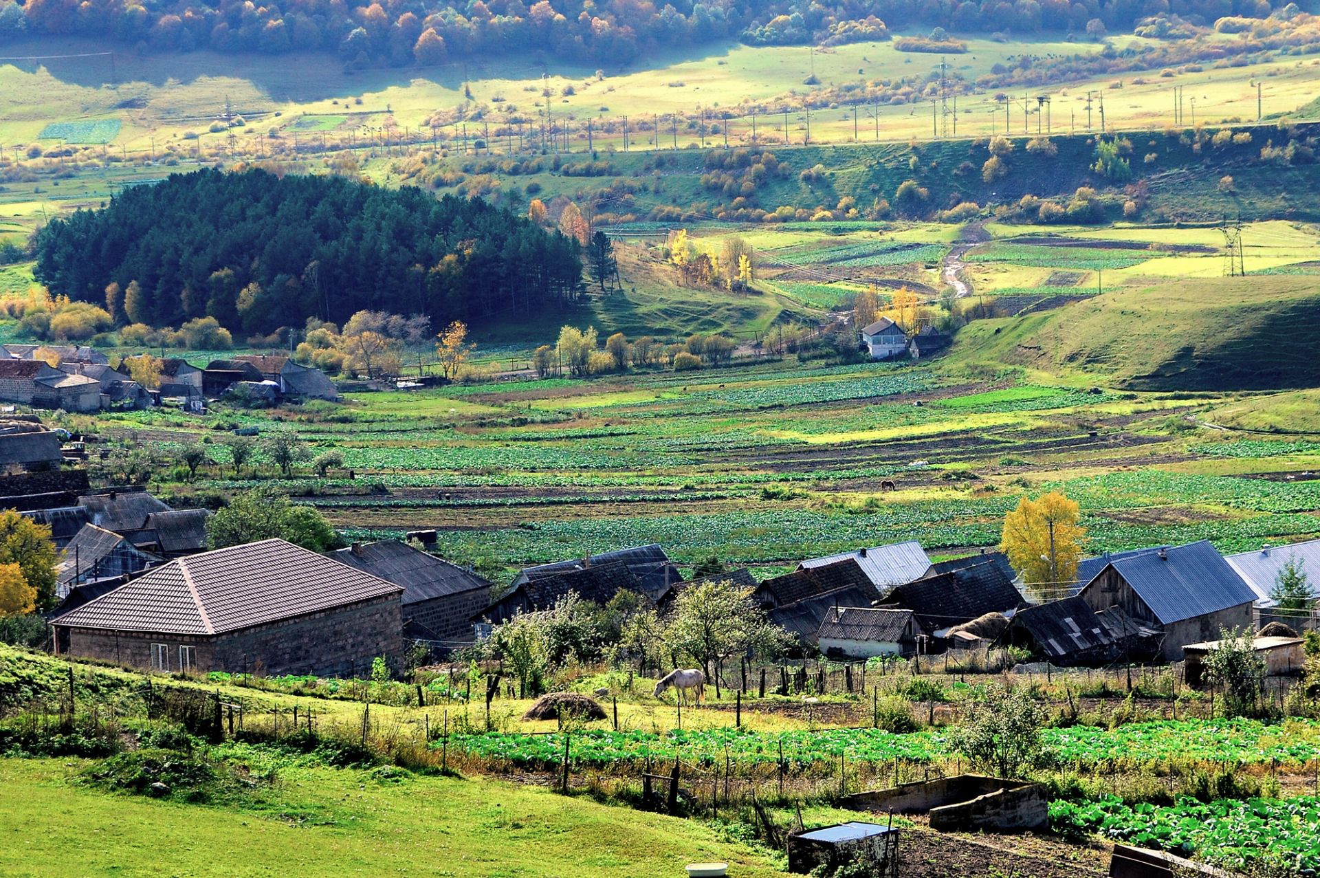
Akhtala is located in the valley of the River Debed at an altitude of 740 meters above sea level and has a subtropical climate with cool and dry summers and mild winters. The annual rainfall reaches up to 600 mm. The area of today's Akhtala was previously known as Nerkin Akhtala. Currently, the town is divided into three districts: the old town in the northwestern part, consisting of the old village Nerkin Akhtala. The new town is located in the central and southern parts on a hill between the Debed River and its tributary Shamlugh. The eastern district is located on the banks of the River Debed, east of the old town. The population of Akhtala reached its peak in 1970 with 4,430 inhabitants. With the independence of Armenia in 1991, however, the numbers have fallen dramatically. At present, around 1,300 people live in Akhtala. Ethnic Armenians, who belong to the Armenian Apostolic Church, form the vast majority in the town.
The 10th-century Akhtala Monastery is one of the best-preserved monasteries in modern Armenia. The main church of the complex is famous for its ornate frescoes, covering the interior walls, partitions, and storerooms of the building. The nearby Trinity Church dates from the 13th century and is located about 500 meters northeast of the monastery. Akhtala has a culture house and two public libraries. The town has been home to the annual Armenian Barbecue Festival since 2009. It is celebrated annually on the 3rd Sunday in August. Many types of Armenian kebabs and khorovats, known locally as khorovats, are grilled during the festival. Around 1500 kg of meat is grilled by 40 participating cookers. The M-6 motorway runs from south to east through Akhtala and connects the town with Vanadzor in the south and the Georgian border in the north. A network of local roads connects the town with the nearby villages of Lori. The Akhtala railway station was opened in the 1920s. It is 209 km north of Yerevan on the way to Tbilisi. An abandoned, 250-meter-long cable car connects the eastern district with the new Akhtala district. The area is rich in copper, lead and silver mines, which are of industrial importance. The town's main industrial enterprise is the Akhtala Mining Plant. In the town, there are small production plants for food processing. The town has a state hospital, a hotel and a sanatorium. The main problems of Akhtala are related to the reconstruction of historical monuments. Even in the small town environmental problems such as air and water pollution arise. Football is very popular in Akhtala. The Akhtala FC represented the town in the domestic competition until its dissolution in 1992. There is also a football training field in the the new neighbourhood. Weightlifting, wrestling, volleyball, chess and tennis are among the other popular sports in the town.