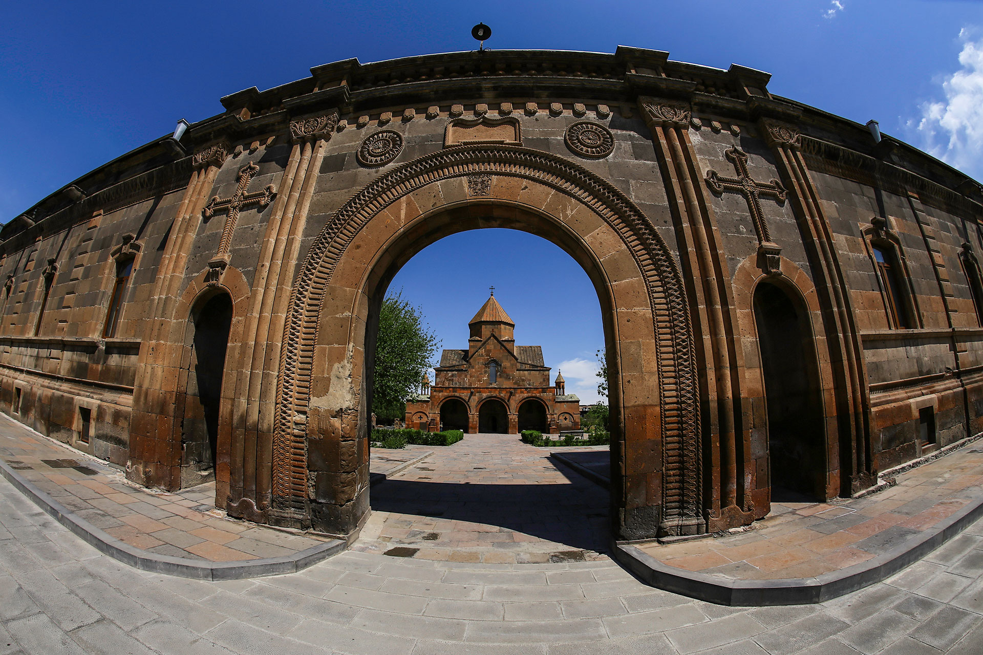
Armenia is a small mountainous country in the South Caucasus. Today's territory is located in the heartland of the Armenian highlands. The total area is 29743 square kilometers. Armenia is a landlocked country.
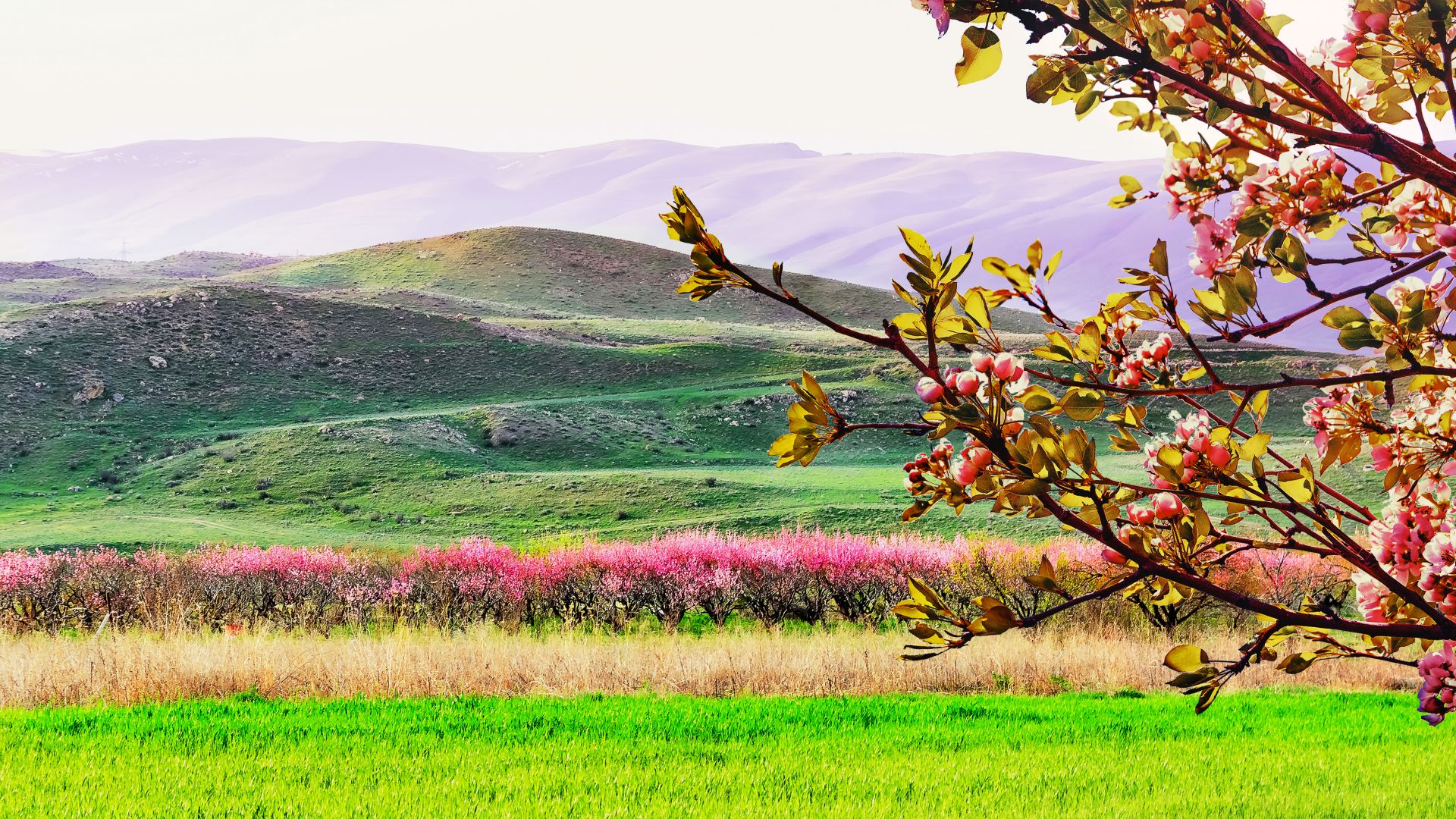
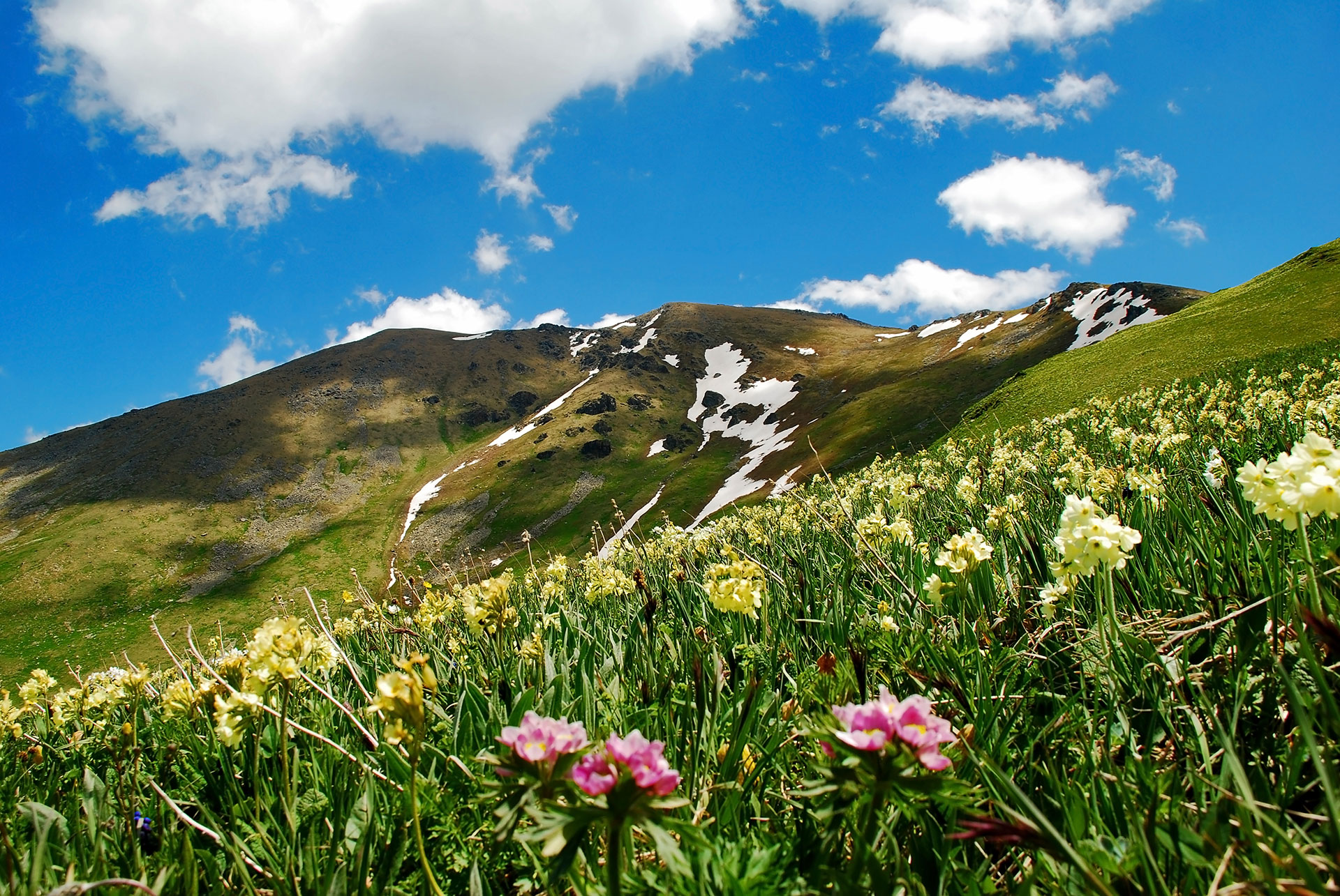
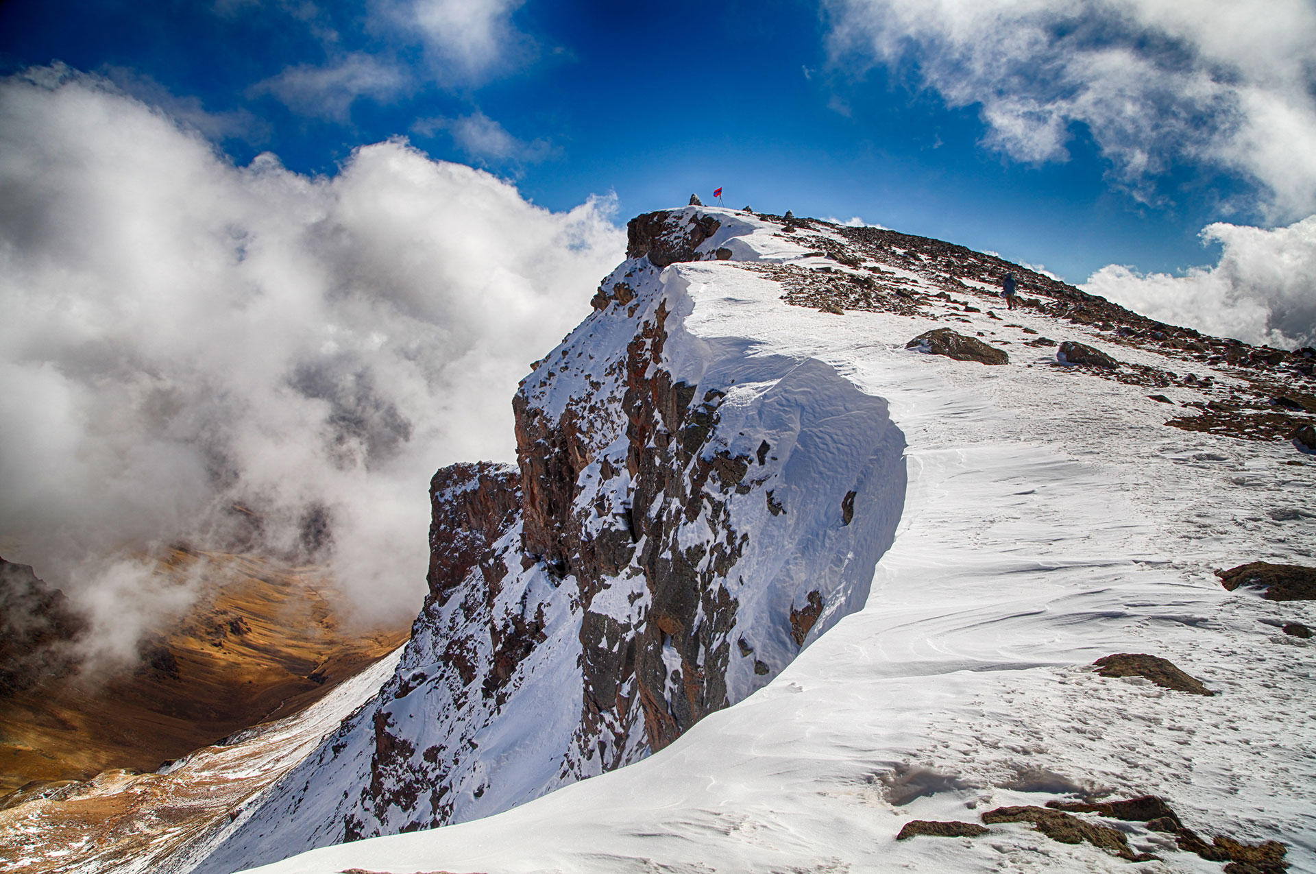
It is bordered by Georgia in the north, Turkey in the west, Azerbaijan in the east, and Iran just 35 kilometers to the south. The most part of the country is mountainous, which makes Armenia a perfect destination for hikers. The fresh mountain air, magnificent fields of flowers and views from the summits make the hikes a unique experience.
Armenia's highest mountain is Aragats, with 4090 meters, which has 4 peaks. The mountain is located northwest of the capital Yerevan. Many myths and legends are associated with this mountain. The longest mountain range is Zangezur, whose peaks are almost always covered with snow.
The largest lake in the country, Lake Sevan or as the Armenians call it, "the blue pearl of Armenia", is situated in the province of Gegharkunik, which is itself surrounded by mountain ranges. Lake Sevan is the largest freshwater lake in the Caucasus. The water surface is about 1400 square kilometers. The lake is located at about 1900 meters above the sea level.
There are also many rivers in Armenia, most of which are beautiful mountain rivers. Due to the continental climate 17% of the land is used as arable land and a quarter of the area as pasture.
The climate can be very different here. The country is located in the north of the subtropical zone, although the subtropical climate can only be seen in the southern part of Armenia (for example in Meghri). In other regions the climate is dry, continental, mostly with cold winters and hot summers. As Armenia is a mountainous country, the difference in altitude has an influence on the temperature fluctuations in the country. One of the big advantages is the sun, which you can enjoy all year round, and that's why Armenia is often described as a sunny country.
The temperature can vary considerably depending on the season. In summer it is generally pleasantly warm, but it can rise up to 40 °C in the Ararat Valley, for example. In winter, the temperature may fall below -5°C in Yerevan and even more in the Ararat Valley (-30°C) and in the Arpi Lake (-46°C). More than 90% of Armenia is located at an altitude of 1000 meters above sea level. This fact defines the characteristics of the climate. As a result, the average temperature in Armenia, as in other mountainous countries, drops by one degree every 200 meters.
The annual rainfall depends on the height of the area: 200-800 mm on average. The first rainy season in Armenia lasts from spring to early summer. In October and November you can experience the second rainy season. In winter, there is a lot of snow in the mountainous areas (up to 100-150 mm) that stays on top of the mountains all year long.
The best time to travel to the beautiful, mountainous country of Armenia is from April to October. The climate in Armenia is fantastic for tourism. You can find something beautiful and interesting in every season.